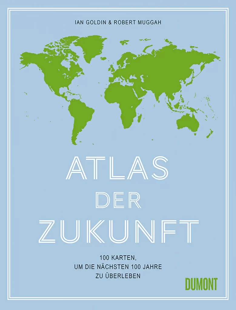
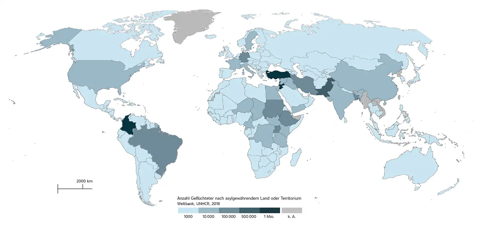
When you open the "Atlas of the Future", a familiar map immediately catches your eye. A map that we have actually only seen in the news. The black and red world map shows the spread of the coronavirus globally, giving us a visual idea of the infection process.
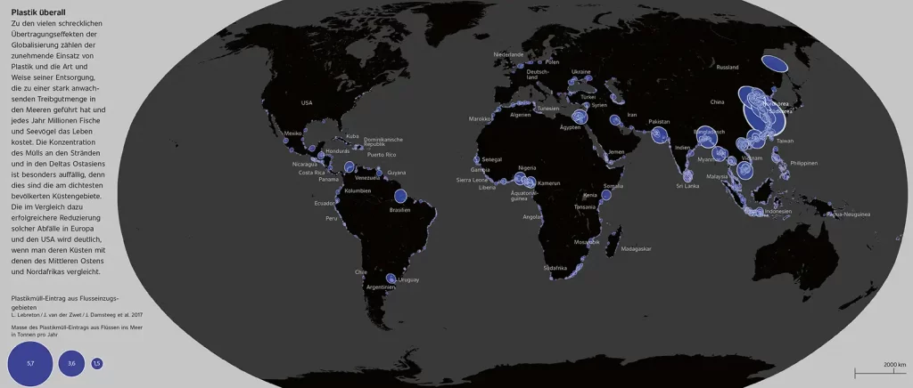
P. 58 Plastic waste input from river catchment areas © L Lebreton / J van der Zwet / J Damsteeg et al 2017
This example shows us that the usual atlases with their everyday maps are no longer up to date or sufficient to enlighten us about our world. That is why the "Atlas of the Future", with its 100 different, colorful and interactive maps, not only wants to show the borders of our countries, but also points out the cross-border problems and the decisive challenges of today's and tomorrow's world, and presents them in an understandable and cartographic way.
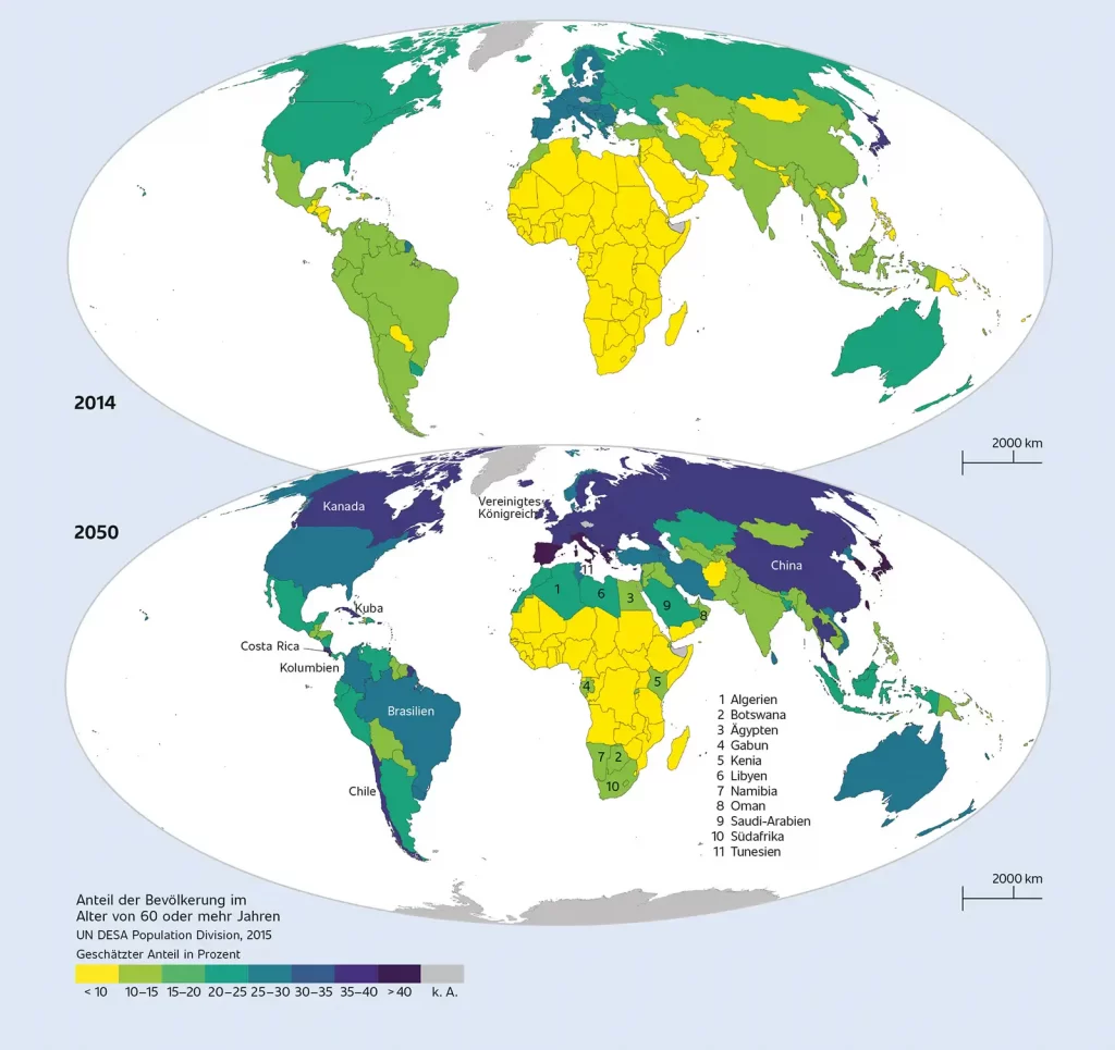
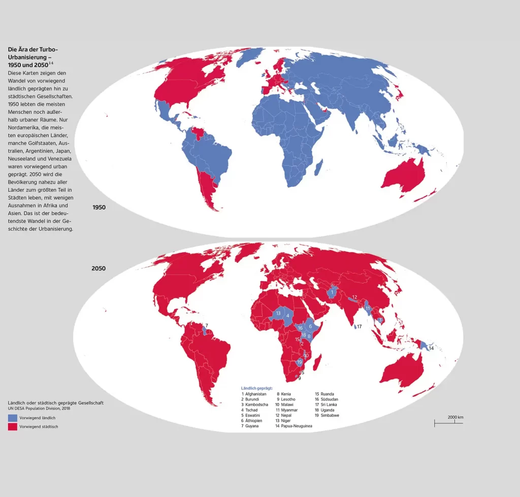
P. 391 Proportion of population aged 60 or over - 2015© UN DESA Population Division, 2015 // P. 120/121 Rural or urban society - 2019 © Un DESA Population Division, 2018
After decades of research using state-of-the-art satellite imagery, projects and subsequent analysis, Ian Goldin, Robert Muggah and their team have developed a modern and forward-looking way of mapping. Thirteen key themes, such as education, climate and inequality, are used to characterize humanity's influence on the development of our planet. The authors' aim is to draw attention to the challenges and fronts still facing our planet and to offer us an answer to the possible solutions.
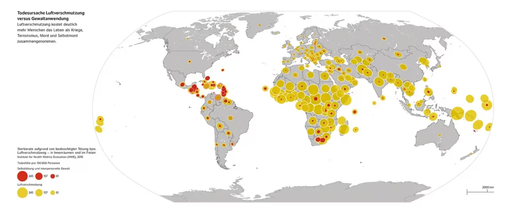
P. 86 Mortality rate due to intentional homicide or air pollution - indoors and outdoors © Institute for Health Metrics Evaluation (IHME), 2016
Atlas of the Future
Ian Goldin and Robert Muggah
DumontVerlag
Hardback with color endpapers and ribbon marker
512 pages
€45,-
ISBN 978-3-8321-9999-9
